
Walk a Hialeah Street
A Hialeah street directory search works best as a chain, not a one-box query. Normalize the number, directional, street name, type, and unit. The Miami-Dade property roll then supplies the folio, which is the county's 13-digit parcel key, plus the legal description and current roll owner. Those details keep the search tied to the land when a postal label or street spelling changes.
Ownership and occupancy are different facts. A deed proves a conveyance. An assessment card identifies the roll owner. A permit links work to a parcel. A directory or lawful voter extract may add a person at an address, but none is a full household list.
- Search the complete address in the Miami-Dade County Property Search and save the folio, legal description, situs address, and owner name.
- Open Hialeah GIS, identify the same parcel, and click nearby lots to read the street in geographic order.
- Compare the true situs fields with the owner's mailing fields. Do not treat a remote mailing address as the physical site.
- Use the owner and legal description in the Recorder's Official Records index. Check deeds, mortgages, liens, plats, and notices of commencement.
- Add permits, a scoped public voter-data request, or an older reverse directory only when that source fits the question.
Hialeah Address Search Fields
The Miami-Dade Property Search is the strongest first bridge from a street address to an official owner record. Its map lets a researcher move from one lot to the next. Save the roll year because property data are continually edited. The displayed owner can lag a recent deed, and an exemption can change between annual rolls.
| Search choice | Input | Best street use | Important limit |
|---|---|---|---|
| Address | Address plus optional suite | Resolve one site to its parcel | Needs exact directional and unit |
| Owner Name | Roll owner | Find other parcels under the same name | Does not list occupants |
| Subdivision Name | Recorded subdivision | Browse a block or development | Not the same as a neighborhood name |
| Folio | 13-digit parcel identifier | Carry one lot across systems | Identifies land, not a household |
| Map controls | Zoom, aerial, parcel click | Move along adjoining parcels | Map pop-ups are informational |
A parcel card can show owner, situs and mailing addresses, legal description, values, physical features, sales, and exemptions. Homestead status makes owner occupancy more plausible for that roll year. It still does not prove continuous presence or identify all Hialeah residents at the address.
Browse Hialeah Lots by Street
The Hialeah Maps Gallery adds the city view. Its property, zoning, flood, service, and historic-aerial tools help separate parcel location from mailing convention. The interactive zoning map allows zooming, panning, and parcel identification. Click lots in sequence instead of assuming that every number on the road falls inside one subdivision or municipality.
The published Hialeah zoning layer schema exposes folio, zoning, land use, acreage, true situs city and ZIP, and separate owner mailing address, city, state, ZIP, and country fields. This is unusually useful in a street directory. It can reveal that the parcel is in Hialeah while the tax notice goes elsewhere, or that a “Hialeah” mailing label sits beyond the city boundary.
View the city maps gallery before opening the captured interface below.
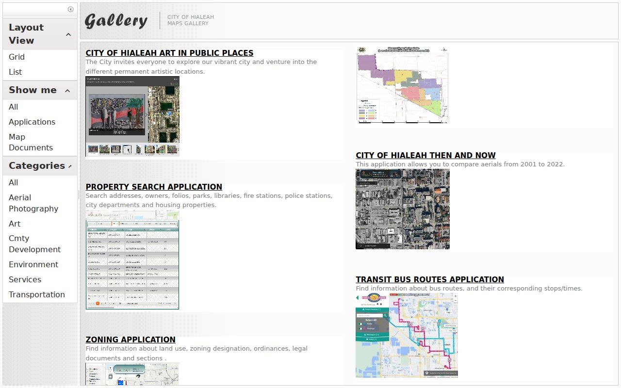
The gallery makes the street search spatial: parcel, zoning, service, and aerial layers can be checked without treating the tax roll as a resident roster.
Decode Hialeah Parcel Terms
Street files use land-record terms that are easy to blur. Keep each one attached to its narrow role. The legal description and folio are safer than a casual postal name when matching one Hialeah property across the assessor, GIS, recorder, and permit systems.
- Parcel
- A mapped unit of land with a county folio and assessment record.
- Situs address
- The physical location assigned to the parcel, distinct from the owner's mailing address.
- Plat
- A recorded map that divides a subdivision into lots and blocks, usually cited by plat book and page.
- Criss-cross directory
- A directory section arranged by street and house number rather than by a person's surname.
Use the terms as controls. A street label gets you started, the folio carries the parcel, and the plat description checks that a deed refers to the same land.
Open the interactive zoning and parcel map that supplies the lot context shown below.
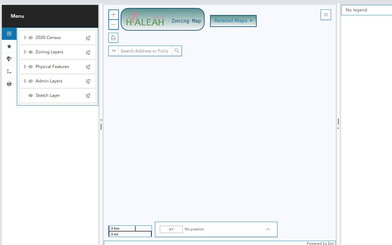
The map view helps match a street number to its polygon before the folio is carried into another official index.
Hialeah Records Filed by Address
The Hialeah street directory draws from several address-keyed sets. Each has a different keeper and time depth. The most reliable result states exactly what the source proves and what it cannot prove.
| Address record | Official keeper | Street evidence | Access route |
|---|---|---|---|
| Assessment card | Miami-Dade Property Appraiser | Owner, folio, situs, mailing, sale and exemption data | Free web search; county request fallback |
| Parcel and zoning GIS | Hialeah and Miami-Dade | Lot boundaries, adjoining parcels, zoning and true situs fields | Free maps; city inquiry for boundaries |
| Deeds and liens | Miami-Dade County Recorder | Parties, dates, legal description and instrument images | Web mostly from 1974; library earlier |
| Permits and plans | City of Hialeah | Project, folio, address, listed owner and work type | Free index; archived file by request |
| Public voter extract | Miami-Dade Elections | Public fields for a scoped geography | Chapter 119 request with exemptions |
| Address directory | MDPLS or HistoryMiami | Listed subscriber or resident by street number | Reading room, catalog, or microfilm |
The state voter-status form is for an individual to verify a personal record, not for browsing a Hialeah street. A public extract should instead be requested from Miami-Dade Elections by snapshot date and useful geography. Signatures, identification numbers, registration-location data, preregistrants, and protected addresses remain shielded.
Trace Hialeah Street Ownership
The Miami-Dade Official Records service includes deeds, mortgages, satisfactions, releases, liens, judgments, plats, powers of attorney, declarations of domicile, and notices of commencement. Search a current owner as grantee to find the purchase deed, then read that deed for the seller. Repeat with the same legal description. Names alone are unsafe on a dense Hialeah street.
The web index is strongest for most instruments from 1974 forward. It offers party name, Clerk's File Number, book and page, legal description, date range, and document type modes. A result may show indexed party roles, recording date, instrument type, CFN, book/page, and legal references. The linked deed image may also show addresses, consideration, preparer, witnesses, stamps, and folio.
Read the Recorder's deed and copy guidance before viewing the official-page capture.
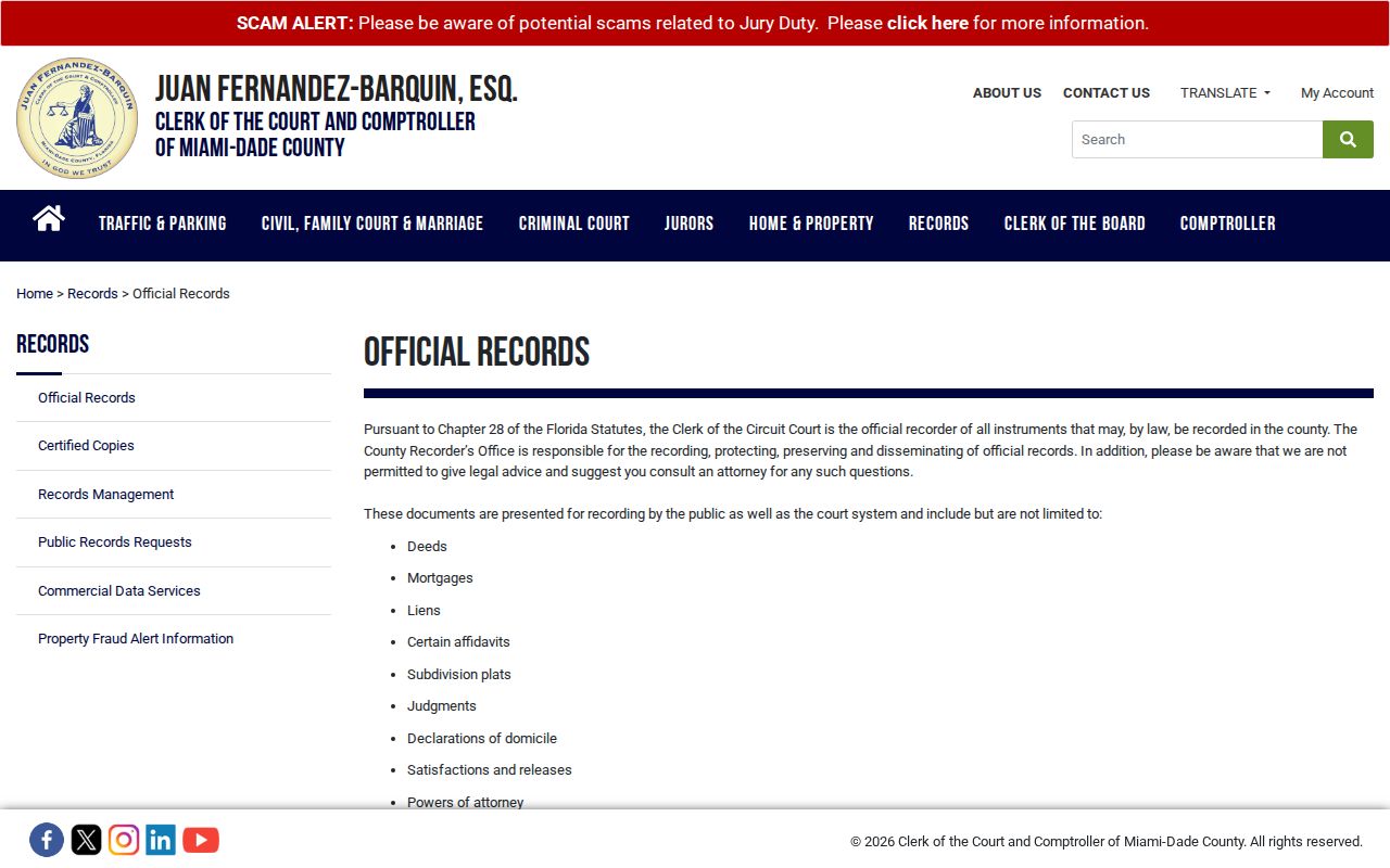
The captured page leads to the index and explains the Recorder's role, while the deed itself remains the controlling source for a conveyance.
Note: A notice, lien, or mortgage can name a parcel party without proving that person lived at the Hialeah address.
Cross Hialeah's 1974 Divide
When a chain reaches the edge of online coverage, save the last book/page, full legal description, subdivision, lot, and block. Take those details to the Miami-Dade Records Library. Public computers there can search last-name-first party entries, CFN, legal description, and book/page. Staff-assisted searching costs $2 per name per year. Copies are $1 per page, with $2 certification.
Remote options remain available. Call the Clerk at 305-275-1155, or mail the full name, document type, and property address or legal description to Office of County Recorder, 20 NW 1st Avenue, Suite 5.246, Miami, FL 33128. Older books and indexes are being added online, but “most records from 1974” is not a promise that every image from that year appears.
Records Library tip. Carry the last reliable book/page and legal description from the online chain. They are better keys than a street spelling alone.
Hialeah Permits Along a Street
The Hialeah permit search accepts process or permit number, a segmented address with directional and street-type controls, folio, or owner first and last name. Results list details, project number, folio, address, owner, application type, and a map link. The row documents a project or parcel at that point in time. It is not an authoritative current-resident entry.
When the index lacks the file, archived permits and plans can be requested from the Hialeah City Clerk. General requests may go through NextRequest, email, mail, phone, or the counter, without a required identity, special phrase, or reason. Name the permit, folio, address, date range, and desired format so the custodian can locate an existing record.
A separate 2026 violation and lien research product covers open violations, expired or open permits, unsafe structures, unpaid municipal services, and city liens. Standard research costs $500 per folio plus $50 for each added address on that folio and has an estimated 7 to 10 business-day turnaround. A two-business-day expedite adds $100. If one known permit is enough, request that existing file first.
Hialeah Streets Need Directionals
Hialeah uses Miami-Dade's numbered streets and avenues alongside Palm Avenue, Hialeah Drive, Okeechobee Road, and other named routes. East, West, and NW labels are not interchangeable. Enter each piece in the proper portal field. A wrong directional can land on a different road, while a missing unit can merge several records at one site.
Postal geography adds another trap. ZIPs 33014, 33015, and 33018 extend beyond Hialeah into nearby municipalities or unincorporated Miami-Dade. Special ZIPs can mark a facility rather than a neighborhood. Confirm TRUE_SITE_CITY, TRUE_SITE_ZIP_CODE, the municipal polygon, and the folio before routing a permit or city-record request.
Read the authoritative zoning-layer field list before viewing its captured metadata.
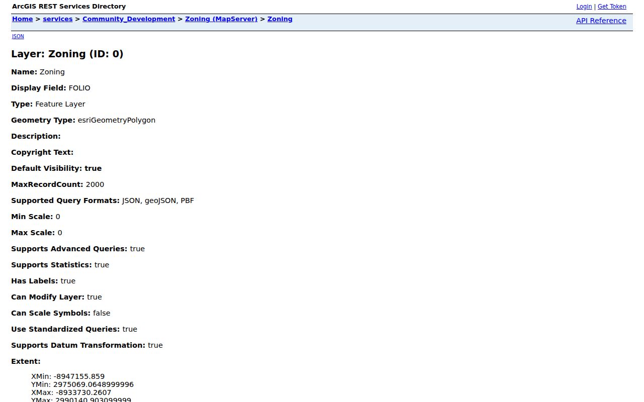
The schema confirms which fields describe the site and which fields merely route mail to the owner.
For modern physical context, Hialeah's “Then and Now” mapping compares aerials from 2001 through 2022. An aerial can date visible structural change, but it cannot prove a change of owner or occupant. Pair the image with permits and deeds.
Older Hialeah Streets in Directories
Some Miami and Dade directory issues include address sections that run by street and number. These reverse sections can add a listed subscriber or resident between census years. Exact Hialeah-inclusive years are not fully listed in public catalogs, so verify each volume's title page, coverage statement, contents, and abbreviation key at MDPLS Main Library or HistoryMiami.
A directory omission has many meanings. The home could be vacant, the person could be unlisted, the address could have changed, or the volume could omit the area. Historical work belongs with the Hialeah city directory collections, where confirmed runs and reading-room access are described without turning a tentative shelf hit into proof of residence.
Before Hialeah incorporated in 1925, search Dade County, Miami-area, subdivision, census, and land headings. The county name changed from Dade to Miami-Dade in 1997, which also affects catalog terms.
Hialeah Street Directory Limits
A tax-roll owner is not a list of people in a home. The mailing address may belong to an owner elsewhere. Homestead can support an owner-occupancy inference for one roll year, but it does not name a household. Permits identify work and associated parties, while deeds record title events. Utility customer details and motor-vehicle personal information are not alternate resident rolls.
Protected-address exemptions can remove or mask information across records. Recorder images may be withheld while an index shell remains. Public voter data also excludes protected and statutorily confidential fields. Respect those limits and verify a match with the office that created the record.
Lawful use only. Use Hialeah address records for legitimate personal, family, property, and civic research. Never use them to stalk, harass, intimidate, or harm anyone.