
Records Behind Hialeah Neighbors
Public records describe land, filings, public registration geography, and named civic roles around a Hialeah address. They do not create a complete resident roster. The parcel and GIS maps are the best first tools because the map itself lets a reader browse from one lot to the next. Other sources should be added only for the question they can truly answer.
| Block source | Evidence around the address | How to reach it |
|---|---|---|
| Hialeah GIS and county parcel map | Adjacent parcels, folios, assessed owners, situs and mailing fields, zoning | Free map and parcel cards |
| Subdivision plat | Lot and block plan, easements, and recorded parcel organization | Recorder or GIS |
| Permit and code files | Projects and public cases tied to exact addresses | Online search or City Clerk request |
| Miami-Dade Elections data | Lawfully public registration geography with exempt fields removed | Scoped Chapter 119 request, not street browsing in the personal lookup |
| Hialeah civic boards | Named appointed participants, meetings, and public civic work | City pages, agendas, and minutes |
| FDLE geographic registry | Registered subjects within a chosen area or radius | Free statutory safety search |
The assessed owner may be an individual, trust, company, or association. Its mailing address can differ from the parcel's situs, or physical, address. Matching those fields and noting a homestead exemption may support owner occupancy for one roll year. It cannot identify every occupant. Treat a “neighbor” result as a public parcel owner, registrant, or civic participant, never as proof of everyone living at the property.
Read Hialeah Parcel Fields
The Miami-Dade Property Search accepts an address, owner name, subdivision, or thirteen-digit folio. A parcel card may show the owner, mailing and situs addresses, legal description, municipality, subdivision, assessed values, exemptions, sales, lot and building traits, roll year, and map. Save the folio before moving around the block. It is the durable link shared by the county roll, city permits, and GIS.
- Folio
- The Miami-Dade parcel identifier used across assessment, permit, and map systems.
- Situs address
- The physical location of the land or building.
- Mailing address
- The address chosen for owner notices; it may be elsewhere.
- Plat
- A recorded map that organizes a subdivision into lots and blocks.
Parcel data serve property assessment and can change during the annual roll. A map pop-up is informational. A clerk-certified deed and a survey or recorded plat answer stronger legal questions about ownership and boundaries.
Map a Hialeah Neighbor Block
Open the Hialeah Maps Gallery or the county parcel map and locate one verified address. Zoom until individual parcel polygons appear. The ordinary map provides the browsing method; readers do not need to construct the REST service's distance query. Hialeah GIS adds zoning, land use, acres, true situs city and ZIP, owner mailing fields, alleys, annexation areas, flood context, historic aerials, sanitation zones, and civic facilities.
- Search the target address and save its folio and legal description.
- Click each parcel that touches it, then the parcels across the street.
- Open each linked roll card. Record the roll year, owner, situs, and mailing address.
- Compare subdivision, lot, block, and homestead evidence without inferring unnamed occupants.
- Repeat on both sides only as far as the block question requires.
For a full named-street chain rather than the immediate radius, use the Hialeah street directory workflow. It adds the deed and address-index steps that would be excessive for a small block check.
Hialeah Owners Are Not Occupants
A parcel owner's name is not a complete list of Hialeah neighbors. Many renters and household members never appear on the property roll. A company or trust may own the lot. The owner may receive mail elsewhere. Homestead data make personal occupancy more plausible for the exemption year but do not prove who else lived there or how long anyone stayed.
Use each source for its limited claim. The deed proves a recorded transfer. The assessment roll identifies the assessed owner. A permit links a named owner and project to a date. A directory entry reports who the publisher included. These pieces can support one another, but none should be expanded into claims about a whole household.
Common myth. A tax-roll owner is not the same thing as a complete resident list, and an owner's mailing address may not be the parcel.
Hialeah Neighbor Permit Clues
The Hialeah permit search works by address, folio, owner, or permit number. Results can show the project number, folio, address, owner at the project stage, application type, and map link. Use it to date public work on parcels around a block. The listed owner is project evidence for that moment, not a current-resident roll.
Archived applications, plans, code records, and street-closure or event permits may be requested from the City Clerk. Hialeah accepts public-record requests through NextRequest, email, mail, phone, or at the counter. Florida law does not require a requester to give an identity or reason. Describe the address, folio, file type, and date range so staff can locate existing records without building a new compilation.
Hialeah Voter Geography Limits
The Florida voter-status form is an individual verification tool. It is not a reverse directory and cannot browse a street. Miami-Dade Elections is the local custodian for public extracts, precinct facts, and statistics. A useful Chapter 119 request states the snapshot date, Hialeah municipality, precinct or ZIP scope, desired public fields, and electronic format. Ask the custodian to omit exempt fields instead of requesting them.
Florida protects Social Security and driver-license or state-ID numbers, registration-location details, preregistrants, and copies of signatures. Address exemptions also apply. Participation history means only that a voter took part in an election, never how the ballot was marked. The Miami-Dade Elections services page pictured here is the correct local starting point.
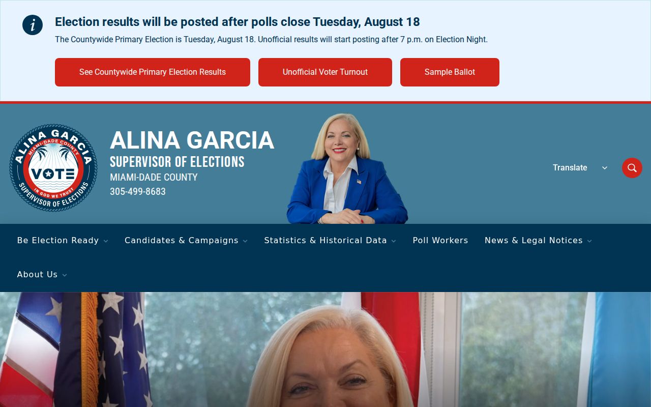
The county channel separates public-data requests from Florida's personal voter-status check.
Hialeah Neighbors in Civic Records
No official citywide neighborhood-association directory with private resident rosters was found. Hialeah's public community layer is institutional. The Beautification Committee, Historic Preservation Board, Faith Committee, Veterans' Affairs Board, Youth Advisory Board, and other boards publish descriptions, agendas, and minutes. Those records can name appointed participants and affiliations without exposing private neighbors.
City boards
Official descriptions, meeting material, and named appointees.
Patrol sectors
Geographic community contacts without a private resident list.
HOA filings
Sunbiz may show an association's officers or registered agent, not its members.
The Hialeah Boards and Commissions page shown below provides the official civic entry point.
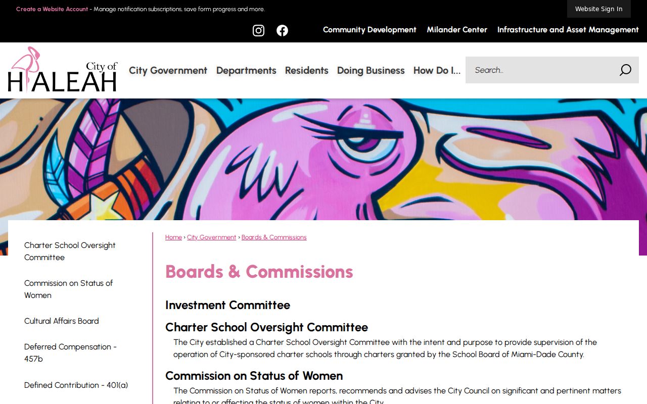
Minutes and agendas add public civic context while keeping the search tied to named public roles.
Compare Hialeah Neighbor Sources
Official rolls disclose their custodian, field meaning, and correction route. Commercial neighbor tools may merge stale addresses or same-name records without showing where a claim began. Use an official source when the question concerns a parcel, permit, public filing, or statutory registry.
| Source type | Strength | Main limit |
|---|---|---|
| County or city roll | Defined public fields tied to a custodian | Not a full household list |
| Recorded document | Dated instrument and legal reference | Shows the transaction, not current occupancy |
| Commercial compilation | May gather many scattered leads | Can be stale, merged, or hard to correct |
Correct an official error with the office that maintains the record. Removing a commercial copy does not erase the underlying government record.
Official Hialeah Safety Searches
The FDLE Sexual Offender and Predator Search supports geographic searching by address, city, ZIP, and radius. Results may show a photograph, name, legal status, address, and address-source details. The agency warns that contributing agencies and registrants report the data and that FDLE does not independently confirm every item. Report wrong information to the bureau and never use registry data to facilitate a crime or harassment.
The FDLE interface pictured here is a specific statutory safety database, not a general roster of Hialeah neighbors.
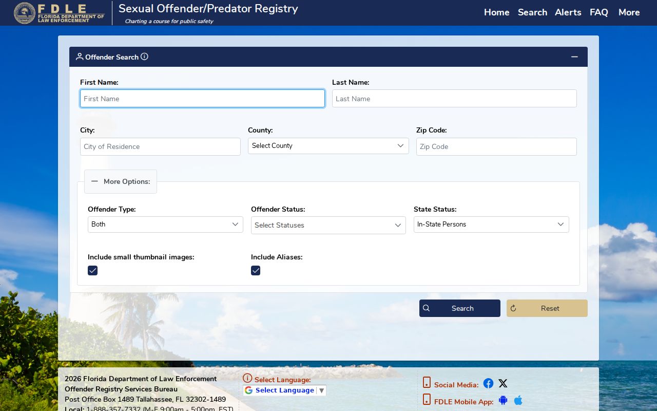
Use its map and radius controls only for the purpose stated by the official service.
The Florida Department of Corrections search shown below is a separate statewide corrections index.
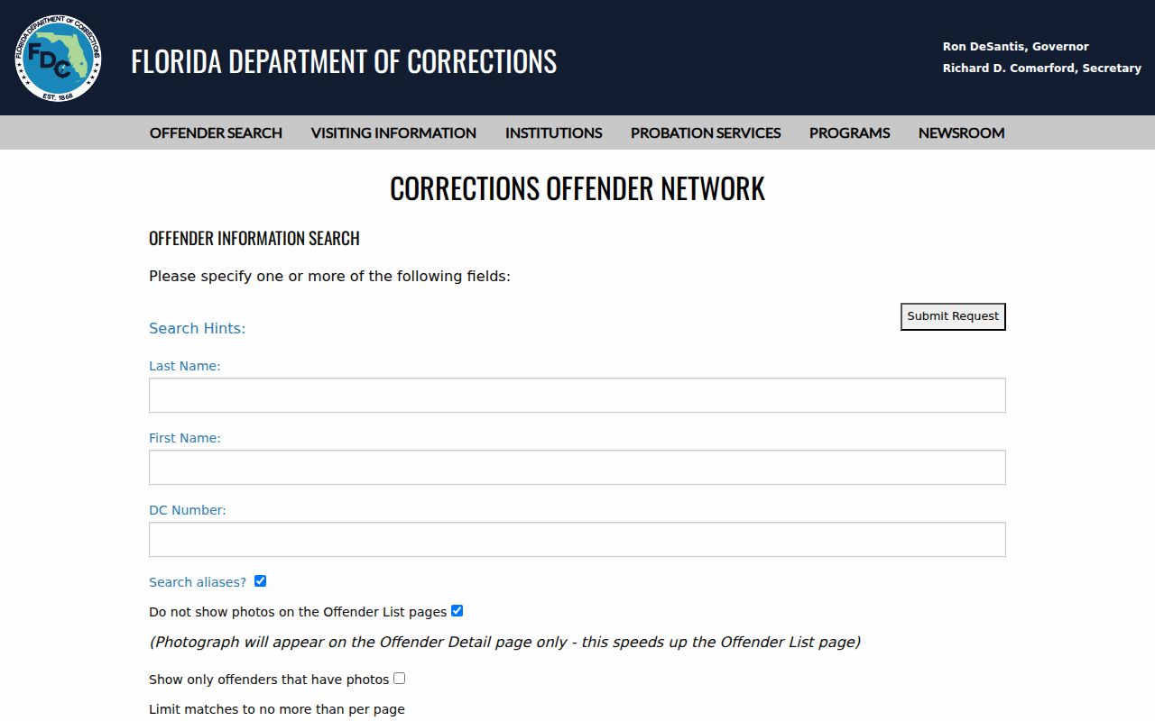
A corrections record concerns the person and case status shown. It does not establish who currently lives on a Hialeah block.
Protect Hialeah Neighbors' Privacy
Safe Address under Florida Statutes sections 741.401 through 741.465 provides eligible survivors with a substitute address and mail forwarding. Section 119.071 supplies other address and contact exemptions for protected classes and circumstances. Motor-vehicle personal data are restricted under the federal Driver's Privacy Protection Act. Utility and delivery details are not a public resident directory.
Public access is not permission to watch, intimidate, or expose someone. Keep exempt addresses off notes, maps, and shared files. Stop when a person appears protected. If the purpose is simply to meet people nearby, use a direct introduction or a public civic meeting rather than trying to reconstruct a private household.
Lawful use. Use Hialeah neighbor records for civic curiosity, reconnecting, and personal safety. Never use them to stalk, harass, threaten, or harm anyone.